12,000 leaflets delivered for Grangemouth’s £220m flood protection project


The Grangemouth Flood Protection Scheme (GFPS) won't just keep the town and its oil refinery and port safe - the 17 miles of new defences will also protect people in Carron and New Carron, Carronshore, Langlees and parts of Stirling Road in Camelon.
The £220 million project - 80 per cent funded by the Scottish Government - will take more than ten years to complete, protecting not just homes and industry but also road and rail infrastructure that are vital to Scotland's economy.
Advertisement
Hide AdAdvertisement
Hide AdCouncillor Paul Garner, environment portfolio holder at Falkirk Council, says the work is crucial to protect the area from the threat of floods which are increasing as a result of climate change.
He said: “As a council, we want to ensure we are at the forefront of protecting our homes, businesses and livelihoods across seven communities including Grangemouth.
"Climate change and the risk of flooding is on the rise and can result in more frequent intense rainfall and higher sea levels, unfortunately Grangemouth and surrounding areas are affected by both tidal and river flooding."
The council is now working with consultant Jacobs to design, plan and manage the new flood defences.
Advertisement
Hide AdAdvertisement
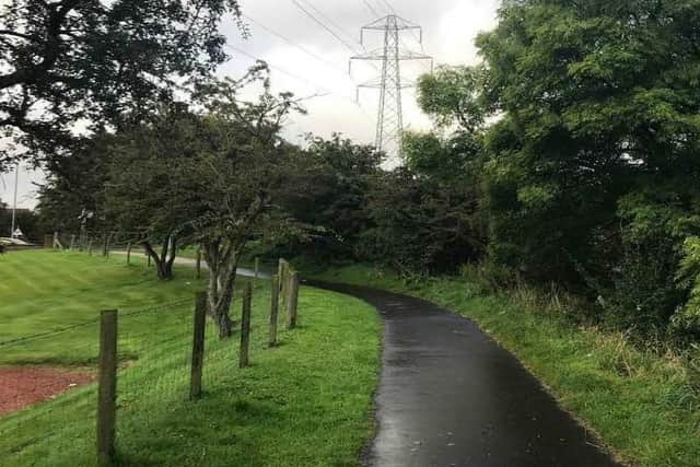
Hide AdThe area is unique in having to protect itself against coastal flooding from the Forth Estuary as well as flooding from three rivers - the Carron, the Avon and the Grange Burn.

Alan McGowan, senior associate director, Jacobs, explained the challenges ahead.
“The flood protection scheme is similar to many other flood protection schemes across the UK, but the Grangemouth scheme is very complicated due to its scale, geographic spread, and the complex urban and industrial setting," he said.
Joint plea from three councils as Falkirk and Stirling into different...Pilot approved for Falkirk police to use overdose reversal drug
Advertisement
Hide AdAdvertisement
Hide Ad“The protection scheme requires almost 17 miles of flood defences, averaging around 1.5 metres in height and of different designs, such as embankments, walls, floodgates and pumping stations to address river, coastal and surface water.

"It has to cope with flooding from three rivers and the Forth Estuary, in a variety of different environments from private gardens and public open spaces to major industrial complexes.
“And there are also many significant environmental constraints such as the Firth of Forth Special Protected Area which provides habitat for large numbers of birds."
Led by Falkirk Council and supported by the Scottish Government and SEPA, the project is seen as the highest priority flood protection scheme in Scotland.
Advertisement
Hide AdAdvertisement
Hide AdThe 12,000 information letters will be arriving soon across the communities of Wholeflats Road, Glensburgh, Langlees, Carron, Carronshore,Grangemouth and parts of Camelon to update residents and businesses.

Residents are being asked to register on the newly launched website - www.grangemouthfloodscheme.com - or by filling in the return slip which is with the letter, to ensure they receive updates as the scheme progresses.
The scheme will also have a STEM education programme for local schools to look at flooding and its affects as well as gathering ideas from young people on the project.